Jessica is a dynamic EdTech Specialist, early childhood curriculum designer, and proud homeschooling mother of two. She holds a Master's degree in Educational Technology and has spent over a decade designing gamified, interactive educational tools for kids.
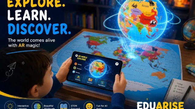
Jessica is incredibly passionate about finding healthy ways to integrate modern technology—like augmented reality—into early childhood learning. Her mission at Eduarise is to help parents turn passive screen time into active, meaningful learning adventures.
When she isn't reviewing STEM learning toys or writing for the Eduarise blog, she can be found planning unit studies with her children, baking, or hiking local trails.
Articles by Jessica
A practical guide to buying STEM toys in Pakistan's big cities: markets, online marketplaces, imports and local brands, with realistic prices and how to avoid import-price traps.
Birthday or Eid coming up? Gift ideas for 4 to 8 year olds in Pakistan that children use for months, sorted by budget from under Rs 1,500 to Rs 6,000.
Looking for educational toys in Pakistan that actually teach something? What to look for by age, what things cost in rupees, and which toys are worth it, with cash on delivery.
Eduarise started as a study in Image and Vision Computing (2023). Thirty children learned the world map three ways: traditional, AR and haptics. What the study measured and found.
Plugo teaches maths, spelling and logic with pieces on a gamepad. Eduarise teaches geography with a map you scan. How they compare on subjects, cost, setup and storage.
A globe shows the Earth's true shape. An AR map adds animals, landmarks and quizzes on a phone. How they compare on accuracy, cost, space and learning, and when to pick each.
Five-year-olds want to know where lions live and what other countries look like. These geography toys answer those questions through play, from wooden puzzles to AR maps.
Both turn geography into 3D on a phone or tablet. One is a printed or wooden map from Rs 1,950 ($9.99); the other is a smart globe around $55. Here is how they compare.
Flat maps ask children to memorize shapes. An AR map lets them scan a country and see its landmarks, animals and flag in 3D. Here is how AR geography education works, and how to use it well.
See every article on the Eduarise blog